
SCAN TO BIM SERVICES IN QATAR
EIWAA is the top Scan to BIM Services in Qatar for providing complete scan2bim solutions and scan-to-bim servcies of Terrestrial scanning, Topographic mapping, structural assessment of bridges,Scan to CAD services ,CAD design and drafting services. EIWAA provides terrestrial scanning services covers topographical mapping, site scanning, ground LiDAR services, bridge lidar scanning and bridge deflection measurement services and geospatial analysis of bridges and mountains.We offer 3D scanning and LiDAR surveying and topographical surveying services made us top 3D Scan to BIM Service company in Qatar. The services offered by Scan to BIM Solutions mainly Scan2bim servcies, Scan to CAD, Scan to BIM, Point cloud to BIM conversion and more. Terrestrial scanning, data processing, BIM modeling, BIM integration with pre-existing models, bim documentation, Scan2bim, BIM collaboration and BIM Implementation services are all included in our Scan to BIM solution. Scan to BIM Solutions is the process by using 3D scanning and photogrammetry services to transform physical structures into digital data and spatial models.
TERRESTRIAL SCANNING SERVICES IN QATAR
Unmanned aerial vehicles (UAVs) or drones, photogrammetry services, GPS surveys, total station survey, ground penetrating radar (GPR) are all the terrestrial laser scanning services and we are one of top terrestrial scanning company in Qatar for providing all these services . High definition detailed representations of environments, structures, and terrains can be created through Terrestrial Scanning and modeling services. We are taking pictures of buildings or other things at ground level by terrestrial photogrammetry and terrestrial imaging services using UAV s and 3D Scanners.
We offer high-definition LiDAR scanning services for ground-level scanning for terrestrial data collection and its analysis. Our LiDAR Services collects high-resolution spatial data on the earth’s surface and sub-structures by using LiDAR technology. LiDAR maps of the terrains are created through high resolution 3D mapping for landscape modeling ,urban planning and its structures. Site survey, construction real time monitoring and as-built documentation services are provided by the Engineering survey team.Our Scan2BIM solutions and Terrestrial Scanning includes but not limited to,
- 3D Laser Scanning: High-precision LiDAR scanners are used to collect data and prcoessing point clouds that precisely represent the spatial connections of onshore structures.
- Point Cloud data processing: Data registration for Point cloud to BIM services done by using sophisticated 3D Modeling software.
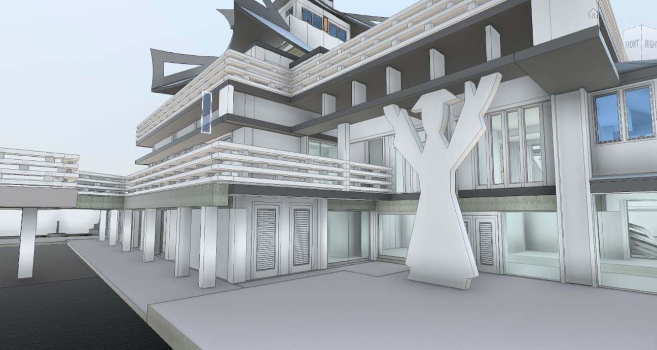
- BIM Modeling: BIM Services is the process of creating 3D models by using advanced software.
- BIM Integration: We are updating asbuilt BIM models with existing conditions and ensuring precise as-built representations as a scan2BIM solutions.
- BIM Documenation and BIM analysis: For 3D visualization, spatial analysis, BIM design development and BIM documentation services.
- BIM Collaboration and BIM Coordination: Our Experienced structural engineers collaborate and coordinate with BIM Engineers for BIM Implementation.
Scan to BIM Solutions
3D Visualization
Mountain Terrain Modeling
Structural Assessment of Bridges
Point Cloud to BIM
LiDAR Survey
TOPOGRAPHIC MAPPING SERVICES
The process of creating complex 3D maps of the landscape including geographic contours, elevations, and landforms is known as topographic mapping services . Services for topographic mapping include boundary survey, land survey, topographic changes, terrain modeling analysis and GIS integration services. We offer bridge inspection and monitoring services, structural assessment of bridges, bridge deflection monitoring and bridge LiDAR scanning through our Topographic Mapping of 3D Bridge Imaging Services.
CAD DESIGN AND DRAFTING
We use computer-aided design (CAD) design services to create precise technical drawings, blueprints, concept drawing, building floor plans and 3D models. Topographical surveying, pipeline integrity inspection services, conservation BIM services ,plant design and modeling services are all aided by our CAD design services. Our CAD engineers expertise in CAD design services of plant design modeling, CAD to BIM conversion,CAD2BIM Conversion, and PDF to CAD conversion.We offer CAD conversion services that have been proved to work, including 3D rendering image to CAD conversion, concept drawings to CAD conversion and pdf to CAD conversion.
FREQUENTLY ASKED QUESTIONS
3D Rendering and 3D Visualization have vital role in building Dilapidation Survey and Condition monitoring of Building and Construction in Qatar. As a 3D Rendering company, we provides 3D Rendering services,3D Visualization and 3D Architectural Rendering services
Scan to BIM solutions is generally the term used to create point clouds by 3D Scanner, registering the raw data to point clouds and create 3D Model by BIM software’s.
Scan to BIM is used for the 3D Design, shop drawings and As-built drawing generation for design architecture companies, architectural engineering consultants, construction companies and construction companies.
LiDAR Scanning, 3D Laser scanning, Total station and BIM Software’s by 3D design engineers for construction design and development.