
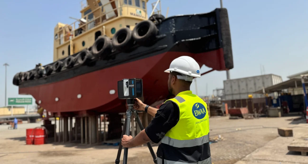
TERRESTRIAL LASER SCANNING IN QATAR
Join us for terrestrial laser scanning service offering MEP system coordination (HVAC, Piping, Electrical), BIM model creation (Revit/AutoCAD), architectural façade and interior scanning, and As-built documentation. Our on-ground laser scanning of airports, accommodation facilities, restaurants and historical monuments is beneficial to renovation, construction and facility management companies. For structural analysis and deflection measurements of bridges and architectural building repair projects, we use sophisticated laser scanning to achieve high accuracy and construction verification. As a terrestrial laser scanning provider, we can provide construction and structural design firms with 3D point cloud data, 2D CAD drawings, BIM models, digital twin models, 3D visualization results and clash detection reports.
We provided accurate TLS services to the construction, real estate, aviation, airport, oilfield, infrastructure, transportation and industries by combining modern terrestrial laser scanning with engineering surveying. innovative, high-definition, non-invasive scans of terrestrial heritage. We do 3D digital documentation, digital heritage modelling, virtual reality, architectural detail capture, structural condition monitoring and mapping of archaeological sites.
TERRESTRIAL SCANNING IN QATAR
Terrestrial scanning surveys are playing a very important role in the feasibility studies and infrastructure development of airports and the aviation sector. Examples include scanning of the terminal building, hangars and maintenance facilities, baggage handling systems, conveyors, BIM and developing digital twins of the airport. We provide complete terrestrial laser scanning solutions for maintenance, repair and redevelopment of buildings at airports.Terrestrial Scanning Services of Airports and infrastructure buildings are,
- Runway, Taxiway and Apron Survey
- Airport Terminal building terrestrial scanning and As-built documentation
- Hangar and maintenance facility terrestrial scanning
- Baggage handling system mapping
- Airport obstacle and clearance survey
- Navigation aid lighting system mapping
- Airport expansion and master planning support
- Airport conveyors and cargo handling system scanning
We convert point cloud data into BIM Models and digital twin for infrastructure developments, airport expansion projects, terminal renovation and building construction projects.
TERRESTRIAL LiDAR SCANNING IN QATAR
Our terrestrial LiDAR scanning includes Terrestrial Survey, scanners and software from initial data collection to point cloud processing, 3D modeling, Revit models, scan to BIM and more. Industrial Laser Scanning Services includes point cloud surveys, as-built surveys, terrestrial laser scanner surveys, industrial laser scanning, and BIM laser scanning for oilfields, oil and gas, and refineries.