
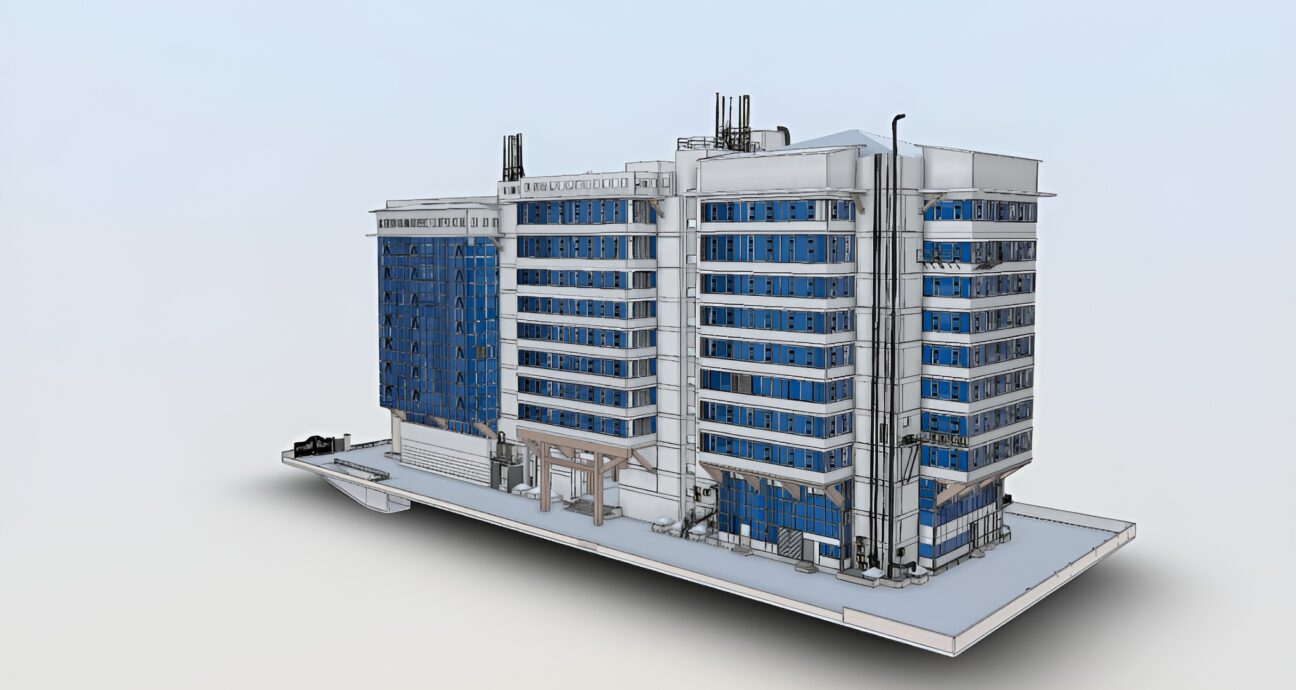
3D MODELING AND DIGITALIZATION IN ANGOLA
We create as-built 3D modeling, scan-to-CAD conversion, piping, structural & equipment modeling, clash detection, design validation, and the creation of digital twin models for the FPSO brownfield projects. For most of the FPSO offshore projects, our 3D modeling and digitalization are used for FPSO retrofits and upgrades, brownfield modifications and expansions, and maintenance inspection planning. For dimensional control, fit-up verification, and asset lifecycle management, our LiDAR scanners are the best approach for as-built modeling. We provide 3D modeling by point cloud modeling, scan-to-CAD, deviation analysis, clash detection, and best fit modeling. As-built model, as-designed model, and level of detail associated with FPSO and offshore rig. Structural steel modeling, deck layout preparations, hull module modeling, and skid support modeling are a few of our areas of expertise in FPSO offshore modeling and retrofits.
AS-BUILT MODELING IN ANGOLA
We are always understanding the challenges in FPSO brownfield projects of space constraints, health and safety requirements, and hectic shutdown schedules. EIWAA provides accurate measurements by using a LiDAR scanner and laser tracker, reducing downtime, reducing re-surveys with proper planning, and complying with the requirements of offshore standards and codes. For providing cost-effective solutions for FPSO upgrades in brownfield projects, we are providing as-built modeling of piping system modifications and rerouting, equipment replacement (pumps, compressors, separators), structural upgrades and support installation, flare system and exhaust modifications, and electrical and cable tray routing optimization.
For accurate as-built modeling in FPSO, 3D laser scanning and LiDAR deliver precise digital twin models for retrofit, maintenance, and offshore engineering projects. We create true-to-life 3D models of FPSO based on the existing site conditions other than design drawings. Our as-built modeling helps offshore companies and oil and gas contractors to provide high-accuracy representation of real conditions, faster engineering and design workflows, and better planning for shutdowns and upgrades.