
What is 3D Laser Scanning?
The process of examining an object in the real world and gathering all the necessary information to digitally reconstruct its shape and appearance is known as 3D scanning. The object can become a 3D model as a result of this procedure, which can be helpful as a foundation for the 3D project you are about to produce as well as for reconstructing, analyzing, or simulating concepts. There are various tools and techniques for 3D scanning items. Without a doubt, the most popular and widely utilized 3D scanning method is laser scanning. utilizing laser light to digitally capture the object’s shape and produce a digital representation of the actual object. These 3D scanners can produce extremely precise point clouds by measuring micro details and capture free-form shapes. This method of laser scanning is ideal for measuring and inspecting intricate geometries. It enables the collection of measurements and data from locations where conventional approaches are impracticable!
What is LiDAR Scanning?
LiDAR technology produces highly accurate and detailed digital 3D representations of real-world environments. The information can be used to visualize features, extract crucial data like 3D measurements, or create 3D models with specialized software.
How 3D Scanner Works?
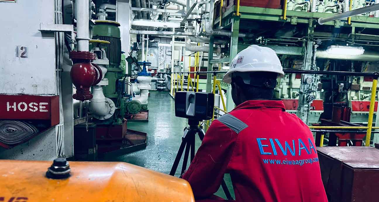
The 3D scanner is the only device used in this operation. The laser beam is sent out until it strikes an item, at which time it is reflected to the 3D scanner and recorded. It is possible to measure the tiny wavelength difference at which the light returns. Since light moves at a constant speed, every variation in that speed may be expressed as a distance, yielding an accurate point in space. This procedure is repeated by scanners up to a million times per second, producing a 3D image known as a point cloud that is composed of millions of dots. For design and project management applications, 3D laser survey provides a quick, safe, and precise way to gather measurement data on-site. It is backed with 3D imaging.
Selection of 3D Scanning Survey and How it meets your requirement?
It depends on the intended use of the information and the ultimate result, much like with most applications. Upon processing, every form generates a digital 3D model that can be provided in comparable formats. LiDAR is a great tool for measuring bigger items, locations, buildings, and structures when measurement data is the main output that needs to be obtained. This is especially useful in applications related to engineering and construction, but it is not limited to those fields. This 3D measurement data may then be evaluated thanks to the visual element, which can result in considerable time and cost savings when implementing a project. On the other hand, photogrammetry is the ideal method for capturing individuals since it is excellent at taking instant photos and reduces the likelihood of the scan data being hidden by movement. These procedures are frequently recorded on camera rigs that use several cameras to record data simultaneously or with fewer cameras rotating an object for repeated images.
Post processing of 3D Scan data?
After the final point cloud is digitally stored, it is compatible with most popular software programs. A frequent output format is a 3D CAD model, which can be used with programs like AutoCAD, Revit, and Solid works, to mention a few. This allows you to print two-dimensional versions of designs and manufacturing drawings. Terms like Scan to Revit, Scan to BIM, Scan to CAD, and other hashtags may seem familiar to you, but they only indicate that the scan data can be transformed to use with a specific piece of software.
Importing 3D models and combining them over the point cloud is a time- and cost-effective method of detecting conflict detection without having to model the whole area. There are numerous software programs that let you mesh the scanned data. Through the process of triangulating points to form a surface, the point cloud is transformed into a digital solid object. Then, meshes can be used in 3D CAD software for a variety of purposes by processing them as 3D solids rather than point clouds.
As-built Drawing and BIM Modeling:
When used in conjunction with an initial 3D model, a 3D laser survey provides a quick and easy way to record the as-built environment and make any differences readily apparent. This is particularly helpful for handover documentation and BIM modeling. Details and documentation of the services and building structure needed from the beginning of the facility’s design and construction to its occupation and management. a digital blueprint that makes it simple and accurate for all parties to identify components inside a building.
3D Modeling and Digitalization:
Through 3D Modeling, you can model and view your registered scan data in several visual formats. It could be a completely immersive virtual reality setting or an enhanced presentation that emerges from a page.
Benefits of 3D Scanning at Architectural Building and Heritages?
3D laser scanning is frequently utilized in the architectural services industry for heritage architectural projects, historical preservation, and the surveying and mapping of existing buildings. Furthermore, reflected ceiling plans, façade drawings, façade inspections, and BIM Services at all of which are efficient ways to get 3D visualizations of existing buildings of all sizes and shapes without breaking the bank.